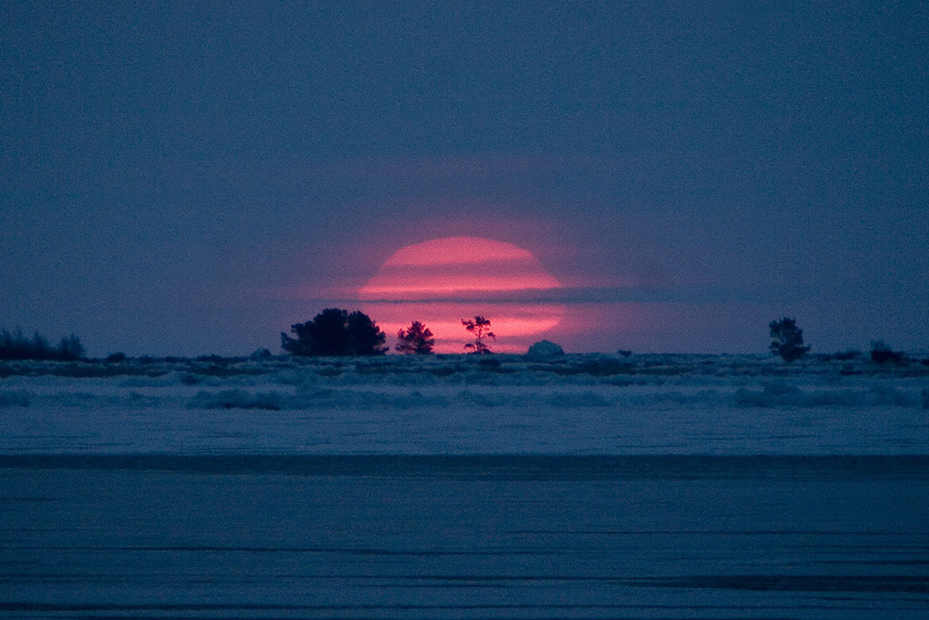
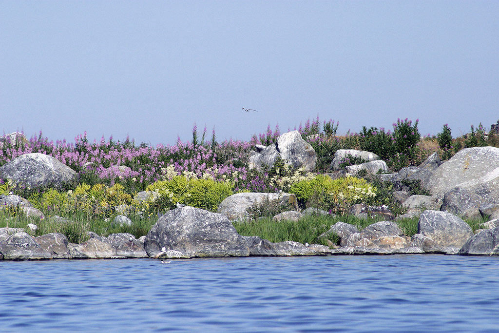
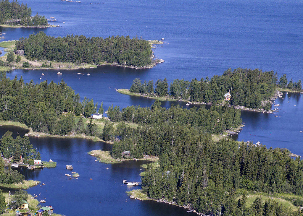
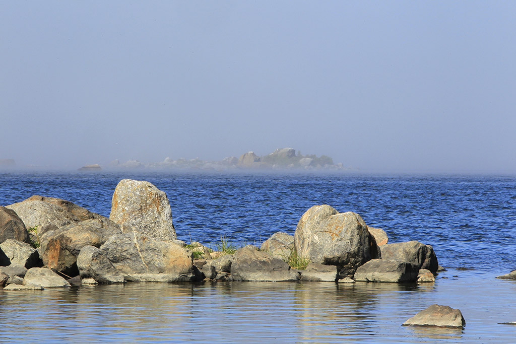
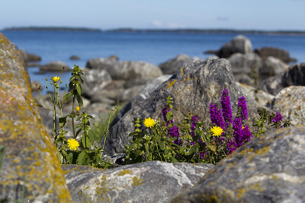
Located in the Gulf of Bothnia off the coast of Vaasa, the Kvarken Archipelago is the first Natural Heritage site in Finland, having been included on the UNESCO World Heritage Site list in 2006. In conjunction with the High Coast of Sweden (also on UNESCO’s list of World Heritage Sites), this area is unique in that the land is rising at the rate of 8-9mm per annum. The geological complex formed featuring this intensive land lift is constantly altering the shape and nature of the area. New islands gradually appear and unite, peninsulas expand, and bays become lakes which themselves develop into marshes and fens. It has been estimated that approximately 300 hectares of new land appears on the Swedish-speaking coast of Ostrobothnia annually. As a result of these endless environmental changes in the low-lying Kvarken, the fauna and flora present are constantly adapting to the continuous and rapid process of change all around them.
So, why is this happening? The answer lies with the last Ice Age, during which the ice sheet weighed down the earth’s crust by as much as 1km. Once the ice had fully melted the uplift began, and in the Kvarken region this uplift is expected to continue until the land reaches its original level, which was between 100 and 150 metres above where it is now. This means that in around two and a half millenia the Gulf of Bothnia will become a lake, joined to the Baltic Sea by a river. Of interest now are the De Geer moraines which were caused by the edges of the melting ice. In the Kvarken region these moraines are particularly well formed, and can be found in many large fields. Other types of moraine in the region include hummocky moraines and various types of transversal moraine ridges.
There are areas within the Kvarken Archipelago that have been designated as nature conservation areas, that are part of the Natura 2000 network and are managed by Metsähallitus, thus ensuring that species dependent on the area are protected. However, this doesn’t mean that access is forbidden, and in fact there are four excellent nature trails and two hiking trails for visitors to use. Before setting out, visitors are encouraged to visit the House of the Sea which provides a wealth of information on the area, such as the local sights, maps for the nature and hiking trails, and the numerous cruises and guided treks available during the summer. The information point is located by the Raippaluoto bridge in Replot.
Metsähallitus also maintain five Nature Stations in the area, these being Gåshällan Nature Station, Mickelsörarna Nature Station, Molpe Nature Station, Mässkär Nature Station, and Rönnskär Nature Station. These were all previously pilot or coastguard stations, and have been renovated for visitors to use. All the Nature Stations provide accommodation, for a moderate fee. Other services provided by the stations vary, for example there is a summer café at Mässkär, an exhibition of photography at Rönnskär, a viewing tower at Molpe, and during the summer there is a guide at Mickelsörarna.
Throughout the Kvarken region visitors will encounter monuments of antiquity, the most intriguing of which must be the stone labyrinths. These labyrinths are usually built with stones that are a little larger than a football and around 10 to 12 metres in diameter. Their original purpose can be only be speculated, but most likely they are religious in origin, with their roots in pagan traditions that related to fishing and hunting; they may also have served as places to meet. There are also numerous compass roses in the area, figures constructed of stones showing the points of the compass.
More recent sights of interest are the lighthouses of Ritgrund, Valsörarna, Norrskär and Strömmingsbådan, as well as other navigation marks such as the old wooden beacons. In the outer isles visitors will find old fishermen’s cabins that were built when fishing for Baltic Herring in the autumn was one of the chief means of income. In the fish harbour of Svedjehamn you’ll find the impressive Saltkaret observation tower which rises to over 20 metres in height, and which affords the visitor with an impressive view of the De Geer moraines.
In all, Kvarken is comprised of some 5,600 islands. Today it has become a popular destination for eco-tourism as it is ideal for hiking, fishing, canoing and kayaking. As the shallow, rocky archipelago offers an abundance of food and nesting places for birds it is also particularly important for birdwatchers, even in the outer archipelago. The Black Guillemot is typical to the area, and more importantly it is home for the majority of Finland’s population of the threatened Greater Scaup. Other notable residents include the White-tailed Eagle and the Fish Eagle.
For those who decide to visit this wonderful UNESCO World Heritage Site, I’d recommend a visit to Terranova – Kvarken Nature Centre as well. Located in Vaasa, housed in the same building as the Ostrobothnian Museum, Terranova provides a number of exhibitions that give visitors all the information they need on the natural features of the Kvarken Archipelago and the Ice Age that has led to its creation. The centre also provides information on nature tourism in the area and on the many special interest activities here.